


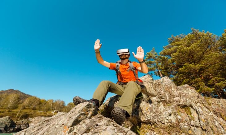
Rock Climber Tests AR Navigation on Mount Yamnuska
Bow Valley climber and University of Calgary computer science master’s student Ben Pearman has taken an experimental augmented reality navigation system onto real rock at Mount Yamnuska in the Canadian Rockies.
Pearman tested RockXR on the Kahl Wall, a classic Rockies climbing line where identifying the next hold can be difficult. Wearing Apple’s Vision Pro goggles while climbing, he could view more than the limestone wall itself. The system placed a three-dimensional terrain map of the cliff within his field of view, showed his position and projected a route line across the wall. Individual climbing holds were also highlighted. The test was the first time RockXR had been used on real rock.
RockXR uses spatial data to provide what Pearman describes as on-the-wall navigation. The project developed from an earlier application called ThreeTopo, which was created to address the problem of getting off route during a climb.
Pearman’s own experiences with route-finding had included reaching points where it was unclear whether the correct line was being followed or whether a climb had moved onto an unfinished or unintended section of rock. The navigation problem is particularly relevant on vertical terrain, where correcting a mistake can become difficult once a climber is already committed to a route.
ThreeTopo was developed using a drone to create a three-dimensional digital copy of the Red Shirt traditional climbing route on Yamnuska. The application provided a digital topo but had limitations when used during a climb. It required the climber to use at least one hand, and it could not determine the climber’s position on the wall.
GPS also presented a fundamental problem. Conventional GPS does not work effectively on vertical terrain, meaning the system could not provide the same location experience as a conventional map application.
RockXR was developed as a sequel to ThreeTopo with augmented reality at its centre. The intended experience is closer to using a map while moving through a physical environment, with navigation information placed directly over the terrain rather than requiring the climber to look away from the wall.
The concept is based partly on the expected development of augmented reality headsets. The technology used for the experiment remains relatively large, but the longer-term concept involves much smaller devices that could eventually resemble a pair of glasses.
Testing moved beyond the laboratory and into the Rockies, where Pearman and his friends used AR glasses to view digital markers on a traditional climbing route. The system could identify holds, anchors and gear placements through floating icons. It could also show digital hands that moved as the climber moved their own hands.
The application also includes a voice mode designed to remove the holographic information from the climber’s immediate view. In that mode, an AI assistant can turn the route information into live climbing beta. The system can be used to answer questions about the climber’s distance from an anchor, whether the climber remains on route, and the location of the next piece of gear. Its responses are based on the climber’s position within the digital representation of the route.
Other climbing applications already use three-dimensional topos and augmented reality technology. The Climbing Guide and Red Point are among the applications identified in discussions of the technology. ThreeTopo differs in its specific focus on multi-pitch traditional climbing.
The development of RockXR has also generated debate within the climbing community. Some climbers have questioned the use of augmented reality for navigation while climbing and have raised concerns about the safety implications of relying on technology during a route.
The debate forms part of a wider discussion within climbing about how technology affects the sport. Questions around access, route development and the use of bolts have long been part of climbing’s moral debates. The introduction of navigation technology creates another distinction between climbers who want to use additional digital assistance and those who prefer to climb without it.
Canmore climber and guide Greg Barrett has identified both potential benefits and drawbacks. His approach to alpine climbing places importance on curtailing reliance on gadgets, developing self-reliance and confidence, and working through challenges with a partner.
That approach also includes navigation and planning. Route-finding involves trying different options, recognising when something is wrong and correcting it. Those elements can form part of the experience of climbing rather than simply obstacles standing between a climber and the summit of a route.
The technology can also have practical safety benefits, particularly for newer climbers. Digital guidance can help climbers stay on the intended route and reduce the time spent trying to determine where it continues. A system that places the required information directly on the wall can therefore reduce uncertainty during a climb.
Reliance on such systems can also create a different problem. Climbers who use augmented reality continuously may have fewer opportunities to develop the ability to assess a wall independently and determine which direction makes sense without digital assistance. The same concern applies to complete reliance on GPS through a mobile phone.
Navigation mistakes can also form part of the learning process. Wrong turns can be memorable, and the experience of identifying and correcting them is part of developing familiarity with mountain terrain.
The debate over digital navigation differs in one important respect from the debate over permanently altering a climbing route. Adding bolts to a classic, traditional route changes its physical character. Digital navigation, by contrast, can be used by one climber without changing the route for everyone else.
This leaves the physical climbing environment unchanged for people who choose not to use the technology. The choice to use an AR navigation system therefore does not require other climbers to adopt the same approach.
Despite the attention surrounding RockXR, practical augmented-reality climbing remains some distance from large-scale adoption. The technology needs to become stable and practical enough for climbing conditions, and a future system is likely simpler than the current experimental version of RockXR.
There is also a separate problem involving the information needed to support such systems. The Rockies contain potentially tens of thousands of climbing routes, but there is no single central resource that covers all of them.
Route information is currently spread across multiple sources. Planning a new climb can involve consulting guidebooks, Facebook, Mountain Project and other applications. The information contained in those sources can vary in accuracy. Creating a reliable body of route information is therefore a challenge before that information can be used consistently by drones, AR headsets, and other technologies.
The amount of available climbing information also limits the immediate impact of systems such as RockXR. The technology can provide a way to present route information, but it does not by itself create or standardise the underlying information. The absence of a central, consistently accurate resource remains a barrier to deploying the technology across large numbers of routes.
For now, augmented reality navigation remains an experimental development rather than an established part of rock climbing. The current RockXR testing shows how route information can be placed within a climber’s view. Still, the hardware, software, and underlying route data would all need to be developed before such systems could become practical on a much wider scale.
Three-dimensional topographical information is expected to play a larger role in climbing navigation. The approach allows terrain to be represented spatially rather than reduced to a two-dimensional drawing.
Multi-pitch routes can extend across hundreds of metres of complex three-dimensional terrain. Representing that terrain accurately on a flat drawing can be difficult, while a 3D topo can preserve the spatial relationship between the route and the rock. That distinction is central to the navigation problem that Pearman’s work on ThreeTopo and RockXR is intended to address.